





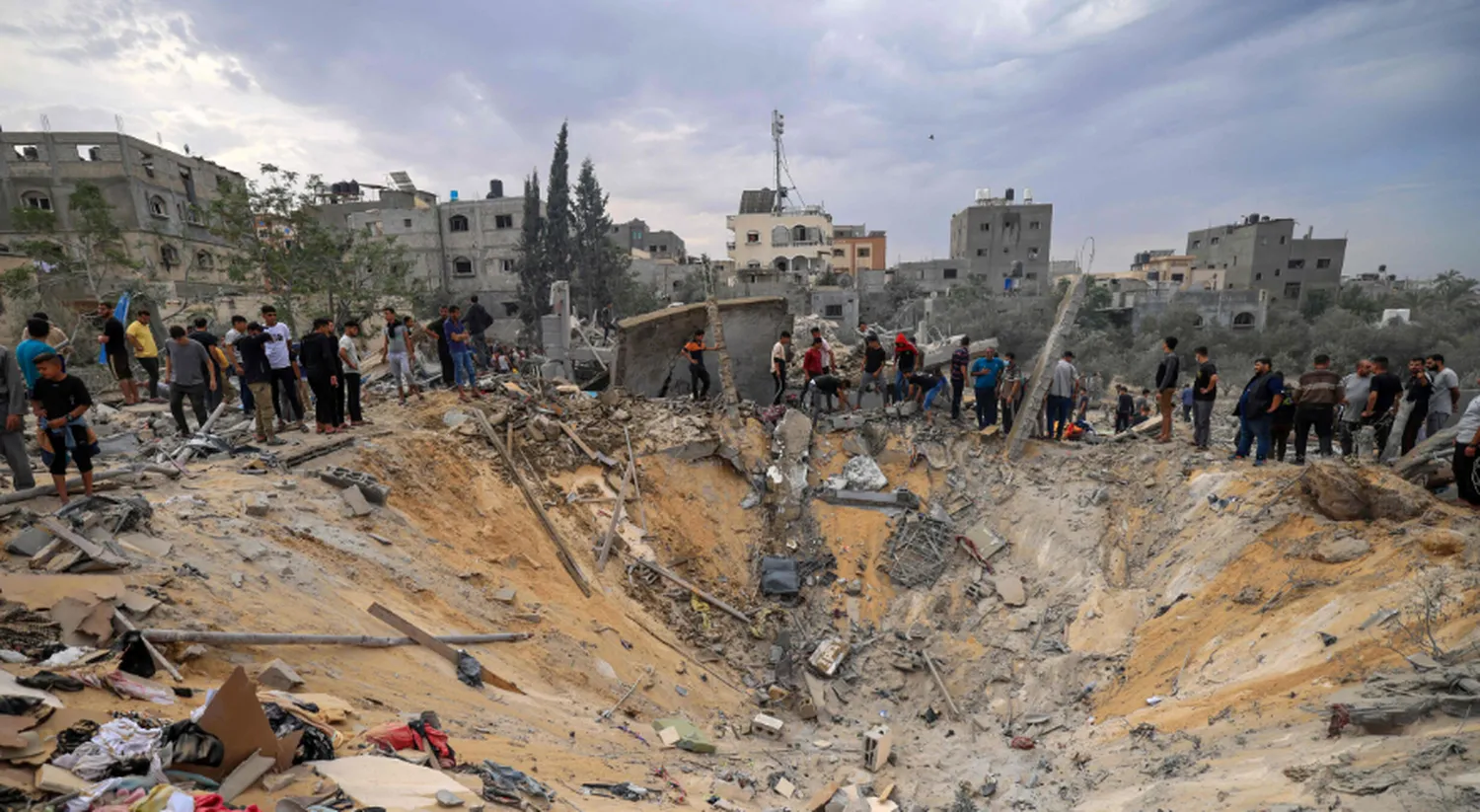
Learning how to understand the geopolitical conflict in the Middle East requires moving past simplistic surface narratives and examining the structural factors at play. The international relations of this region are shaped by overlapping historical border decisions, competitive security interests, and the management of strategic maritime routes. By analyzing these elements systematically, observers can make sense of shifting diplomatic alignments and ongoing friction points across the region.
Historical Foundations and Border Legacy
The contemporary political layout of the region traces directly back to early 20th-century diplomatic agreements. The collapse of the Ottoman Empire after World War I prompted European powers to establish artificial boundaries through initiatives like the Sykes-Picot Agreement. These newly drawn lines often paid little attention to long-standing tribal, cultural, or demographic realities on the ground.
As independent states emerged around these borders, internal domestic frictions frequently became cross-border regional concerns. When foreign policy analysts evaluate modern territorial disputes or regional instability, they look at these foundational mapping choices to see why certain states struggle with border security or internal cohesion. Analysts seeking to document these shifts historically often rely on specialized methodologies, including learning how to use open source intelligence (OSINT) to track geopolitics across evolving map records.
Key Sovereign Actors and Strategic Spheres
Regional dynamics are largely defined by competitive relationships among several major sovereign powers. Rather than engaging in direct military engagements, these nations frequently utilize asymmetric local alliances to project political influence outward. This distribution of power creates complex security challenges for smaller neighbors and international organizations alike.
The table below provides a concise breakdown of the three prominent regional focal points that influence security policies and diplomatic channels across the geographic landscape:
| Focal Center | Primary Strategic Objectives |
|---|---|
| Eastern Gulf Area | Expanding regional partnerships; maintaining local maritime access corridors. |
| Western Peninsula | Securing continental infrastructure; leading regional economic integration networks. |
| Levantine Corridor | Managing immediate border security; counteracting localized asymmetric threats. |
Because these security concerns regularly spill over into international security arenas, international bodies closely track these developments. Professionals who study these specific dynamics often transition into international governance, learning how to work for the United Nations (UN) political affairs departments to help facilitate formal bilateral discussions.
Resource Economics and Global Trade Choke Points
The strategic importance of the region is highly amplified by its massive share of global energy resources and its command over vital international shipping corridors. Millions of barrels of oil and transit containers pass through narrow waterways daily, making maritime security an international economic priority.
- The Strait of Hormuz: A critical transit corridor connecting major hydrocarbon producers with international markets across the globe.
- The Bab-el-Mandeb: A strategic chokepoint linking trade traffic from the Indian Ocean directly to Mediterranean pathways.
- The Suez Canal: The primary artificial waterway handling a vast percentage of total global maritime commercial freight trade.
When localized conflicts erupt near these physical choke points, global supply chains instantly experience economic pressure. This systemic vulnerability explains why external global superpowers maintain active naval deployments in nearby waters to preserve free navigation rights under international maritime law.
Modern Methods for Tracking Regional Security
Analyzing Middle Eastern security requires managing highly complex information environments. Media channels are frequently filled with competing narratives, making objective verification essential for strategic analysis. Analysts must verify geographical movements, verify statements, and shield themselves against state-sponsored disinformation campaigns that aim to influence global public opinion.
In digital spaces, monitoring these information ecosystems is critical, and knowing how to report political misinformation on social media platforms helps maintain analytical integrity. Furthermore, individuals inside volatile areas often must discover how to bypass social media censorship in election periods to ensure accurate ground-level reporting reaches international observers safely. For an in-depth framework on researching regional security trends systematically, researchers can consult the official analytical guidelines published by the Council on Foreign Relations.
Frequently Asked Questions
What makes Middle Eastern border lines structurally unique?
Many boundaries were drawn by external colonial powers following World War I, creating straight administrative lines that combined or divided historic ethnic, tribal, and cultural communities.
Why do maritime trade corridors play such a major role in regional stability?
The region contains major maritime choke points like the Strait of Hormuz. Disruptions at these locations immediately impact global energy supplies and international trade markets.