





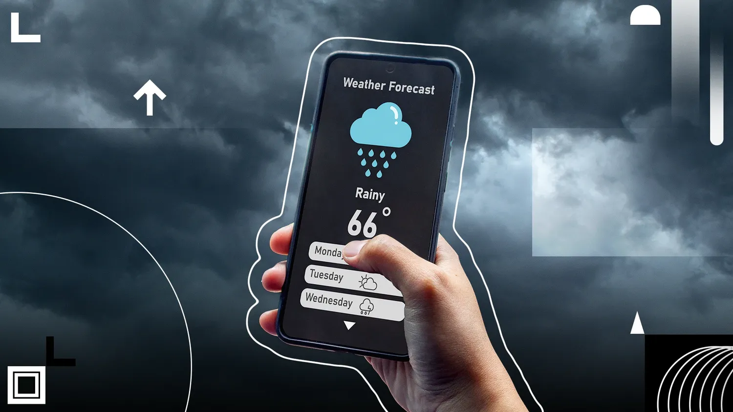
Learning how to track severe weather using a smartphone app is no longer just a matter of convenience; it has evolved into an essential component of modern emergency readiness. When dangerous meteorological patterns develop rapidly overhead, standard television forecasts or delayed sirens are rarely quick enough to guide fast action. Utilizing precise mobile algorithms directly from your palm offers a crucial defensive window to protect your family and shield volatile personal property.
Core Capabilities of Specialized Tracking Applications
The absolute foundation of mastering how to track severe weather using a smartphone app involves migrating away from default, pre-installed generic system elements. Standard system weather widgets merely provide broad temperature windows and static percentages. True emergency tracking requires applications directly tied to advanced live radar data streams and institutional meteorology databases.
By processing raw geospatial feeds, a technical mobile application can map exact storm cells moving through local neighborhoods. This tactical data feed provides users with the granular updates needed to determine whether an oncoming cell carries simple summer showers or dangerous hail shafts. This strategic foresight helps you make smart lifestyle changes, like knowing exactly when to step indoors or how to protect your skin during extreme environmental shifts.
Essential Features Checklist for Emergency Settings
Not all monitoring platforms are built equally for heavy field duty. To ensure maximum data fidelity, verify that your chosen application includes the strict performance layers outlined below:
| Feature Name | Data Source Type | Safety Utility |
|---|---|---|
| Polygon Alerts | National Agencies | Filters out non-threatening urban zones |
| NEXRAD Loops | Doppler Base Streams | Tracks storm velocity and hail growth |
| Critical Bypasses | System OS Settings | Sounds loud warnings during sleep windows |
Step-by-Step Configuration Guide
- Procure a Specialized Application: Download a high-performance tracking system from your official device marketplace, prioritizing platforms that integrate premium tracking nodes.
- Grant Permanent Location Permissions: Navigate into internal system properties and switch location accessibility to "Allow Always." This ensures the app can constantly calculate your position relative to dynamic storm paths.
- Activate Official Agency Push Notifications: Open the application setting sub-panel and flag checkboxes specifically for high-impact alerts like flash floods, tornadoes, and severe thunderstorm markers.
- Authorize Critical Emergency Sound Overrides: Give the tracking app the administrative permissions required to push loud audio signals even when your mobile interface is running silent parameters.
Decoding High-Resolution Radar Telemetry Lines
Having a high-end application is only half the battle; you must also comprehend exactly what the dynamic colorful matrices on the screen are trying to communicate. Modern radar tracking systems split data views into composite reflectivity channels and base velocity panels.
Deep crimson, violet, and white core points indicate intensely concentrated rainfall zones or suspended hail stones. If you notice a distinct hook pattern wrapping tightly around a southwest storm boundary, you are observing visual evidence of a rotating updraft. This signal means you need to seek heavy structural shelter immediately, long before local emergency sirens begin to sound across town.
According to strict atmospheric standards documented on authoritative digital archives like the National Oceanic and Atmospheric Administration Portal, tracking live velocity signatures allows users to spot rapid changes in wind direction before they impact the ground. This real-time visibility provides a significant advantage over passive news broadcasts, giving you the extra minutes needed to secure weak exterior structures.
Adapting Monitoring Tools for Seasonal Hazards
An optimized severe weather application works exceptionally well across all seasons, easily tracking deep convective boundaries in the summer or freezing thermal shifts during dangerous winter cycles. For instance, during hot, muggy mid-year stretches, tracking local dew points and ambient convective energy can warn you about oncoming lines of severe storms. This foresight lets you plan ahead so you can comfortably navigate high-temperature conditions or discover how to sleep comfortably when heat levels peak.
Conversely, when winter arrives, monitoring shifting rain-to-snow lines becomes incredibly critical. If cold, damp fronts breach regional tracking zones, checking local radar trends can tell you whether to expect simple winter showers or hazardous ice storms. These quick changes can turn a normal daily commute into a freezing trap, making it vital to pair your mobile updates with technical winter knowledge—such as knowing how to dress for 40 degree weather or learning how to properly insulate windows against bitter wind drafts.
Furthermore, checking real-time convective atmospheric boundaries helps sensitive individuals monitor shifting pollen currents. This predictive tracking makes it much easier to plan around high environmental triggers and implement strategies to prevent seasonal allergies before intense regional pollen outbreaks occur.
Frequently Asked Questions
What features are absolutely required to track severe weather using a smartphone app?
You need high-resolution live radar, precise polygon warning markers directly from meteorology authorities, and strict background location tracking tools.
Will a storm monitoring application function safely if cell towers lose grid power?
If cell towers fail completely, standard app data pauses. You must use weather apps alongside a standalone NOAA radio backup channel for ultimate safety.
Why are government-issued polygon notifications better than general city warnings?
Polygon boundaries narrow the warning context to precise street levels, preventing unnecessary panic while keeping vulnerable zones safely updated.
Conclusion: Leverage Digital Telemetry for Ultimate Safety
Understanding how to track severe weather using a smartphone app turns an ordinary mobile device into an invaluable safety asset. By configuring continuous location updates, activating emergency sound overrides, and learning to read live Doppler radar patterns, you stay well ahead of unpredictable storms. Download a verified, high-performance weather application today, customize your alert settings, and approach changing seasons with absolute confidence and security.