





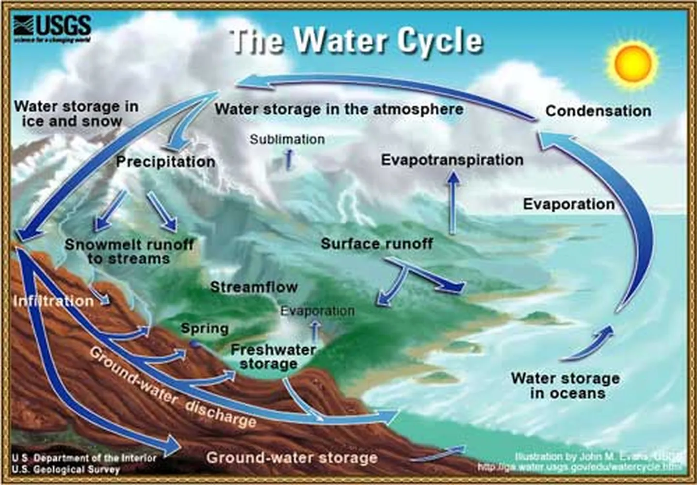
Long before modern tracking screens, digital barometers, and high-tech radar maps existed, people looked directly up at the sky to figure out when a storm was coming. Learning how to predict rain by looking at cloud formations is an incredibly useful, time-tested skill that relies on real-world physics. By taking a few minutes to evaluate the shapes, shifting heights, and colors of overhead moisture layers, you can build a highly accurate, natural short-term weather forecast without relying on any mobile applications.
The Primary Rain-Bearing Formations
Not every overcast afternoon produces heavy rainfall. To accurately read the sky, you must be able to spot the distinct structures that actually carry high volumes of precipitable moisture. According to the National Oceanic and Atmospheric Administration (NOAA), tracking atmospheric moisture changes relies heavily on identifying vertical cloud growth.
The first major rain-maker is the Nimbostratus cloud. These layers create a dense, uniform, low-hanging gray blanket that blocks out the sun completely. When you see these thick sheets covering the horizon, they consistently bring steady, continuous light-to-moderate rain that can last for an entire day.
The second indicator is the Cumulonimbus cloud, widely known as the classic thunderstorm pillar. These structures begin as harmless, puffy white clusters, but rapidly expand upward into towering, anvil-shaped shapes. Spotting these massive vertical formations means you can expect sudden heavy downpours, intense lightning, and severe wind shifts very soon.
Key Signs to Watch for in the Sky
If you want to master how to predict rain by looking at cloud formations, follow these three observation steps during your daily outdoor checks:
- Look for Lowering Bases: Pay attention when high, wispy clouds turn into thick, medium-altitude sheets, and then gradually sink down toward the treetops. This downward transition confirms an arriving warm front that usually drops rain within 12 to 24 hours.
- Check for Dark Bases: As vapor layers absorb more water, they become denser and block out sunlight. A deep charcoal, dark gray, or slightly greenish base indicates that the overhead droplet concentration is heavy enough to break under its own weight, causing immediate downpours.
- Watch for Rapid Vertical Growth: Puffy formations that expand sideways mean stable weather. However, if the tops shoot upward like giant cauliflowers, the atmosphere is highly unstable, and a downpour is actively building.
Rain Potential by Cloud Type
This simplified table breaks down common formations and their matching precipitation probabilities to help you read the sky at a glance:
| Cloud Name | Visual Appearance | Rain Risk |
|---|---|---|
| Nimbostratus | Thick, dark grey low sheet | 95% (Steady Rain) |
| Cumulonimbus | Towering anvil-shaped columns | 90% (Thunderstorms) |
| Altostratus | Grey/blue thin mid-level sheet | 40% (Rain Looming) |
| Cumulus | Fluffy, bright white cotton balls | 0% (Fair Weather) |
Advanced Sky-Reading Indicators
Beyond tracking individual cloud shapes, observing how fast different sky layers move provides crucial clues about changing weather systems. For example, if you notice lower layers racing in a completely different direction than high-altitude clouds, it reveals wind shear, which is a major driver of severe thunderstorm creation.
The Mackerel Sky Rule: An old maritime proverb states, "Mackerel scales and mare's tails make lofty ships carry low sails." This means when you spot high-altitude cirrocumulus ripples that resemble fish scales alongside wispy cirrus streaks, a powerful low-pressure storm system is usually headed your way within 36 hours.
Complementary Natural Forecasting Methods
To make your natural forecasting truly foolproof, combine your cloud observations with other traditional weather-tracking methods. For example, learning how to read a barometer to predict weather changes will help you confirm whether a darkening sky is backed by dropping air pressure, which guarantees incoming rain. You can also couple this with a guide on how to identify different types of storm clouds to spot dangerous weather patterns long before the first raindrops fall.
If you enjoy keeping tabs on storm systems right from your home, setting up simple DIY backyard instruments is an excellent next step. You can find out how to make a DIY rain gauge for school projects to measure your local rainfall, or learn how to measure wind speed without an anemometer by watching nearby leaves and flags. For a deeper understanding of localized comfort levels, check out how to measure humidity levels inside your house to track how changing outdoor vapor pressures alter your indoor living environment.